Hawaii Volcanoes National Park is a place on the southeast coast of the U.S. island of Hawaii. Since 1987, it has been a UNESCO World Heritage Site. The Hawaii Volcanoes National Park is southwest of Hilo on the Big Island. It started in 1961. Before that, it was part of Hawaii National Park, which started in 1916. It covers 505 square miles (1,308 square km) in total.
Hawaii Volcanoes National Park Facts
Mauna Loa and Kilauea are two of the most active and easily accessible volcanoes in the world. They are both in Hawaii Volcanoes National Park, where geological changes are still happening. Hawaii Volcano Park is a great place to see how islands can be made by volcanoes. There are at least six different climate zones in Volcano Park, such as the desert, tropical forest, and tundra.
The Big Island chain of Hawaii Volcanoes National Park was formed when tectonic plates moved over a hot spot. Polynesian explorers later moved to the islands and brought with them their own ideas about the world. Shielding is the process by which volcanoes make a protective shield. The scenery in the park is always changing and growing.
Hawaii Volcanoes National Park History
Mauna Loa, the biggest volcano in the world, is in the south-central part of the island. Its biggest part rises about 3 miles (5 km) from the ocean floor, and then another 2.6 miles (4.2 km) to 13,677 feet (4,169 m) above sea level. Mauna Loa is a shield volcano that makes up half of the island. Since its first well-documented eruption in 1843, it has erupted more than a dozen times. Its summit caldera is about 2 miles by 3 miles (3 kilometers by 5 kilometers) wide and 600 feet deep.
The volcano has been active on and off, with eruptions from both its caldera and cracks in its sides. In 1881, lava came down the northeastern side of the volcano and reached the edge of Hilo. In 1950, lava from the volcano’s southwestern rift zone moved at a speed of 5.8 miles (9.3 km) per hour and reached the ocean in less than three hours. Mauna Loa last erupted in 1984, when earthquakes under the volcano caused it to blow its top.
Kilauea is the most active volcano in the world. It is east of Mauna Loa. It is new to the state. It is about 4,090 feet (1,250 meters) above sea level and takes up about one-seventh of the southeast part of the island of Hawaii. It is also a shield volcano with a similar but not quite as deep caldera at the top as Mauna Loa.
The Halema’uma’u Crater is the most active vent on Kilauea. It is inside the caldera. In 1924, the active lava lake at Halema’uma’u suddenly dried up. This was followed by a series of steam explosions that threw ash and lava blocks into the air. After that, Halema’uma’u Crater erupted now and then, including for four months in 1952.
Kilauea Volcano National Park
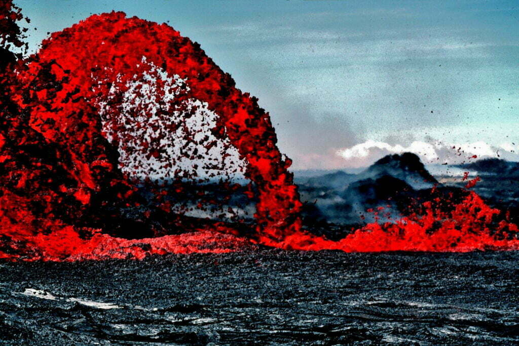
Since then, most of Kilauea’s eruptions have happened in the volcano’s east rift zone, and they haven’t stopped since 1983. First, lava fountains rose 1,540 feet (470 meters) from the Pu’u ‘O’o vent, which is southeast of Kilauea’s caldera and on the edge of the national park.
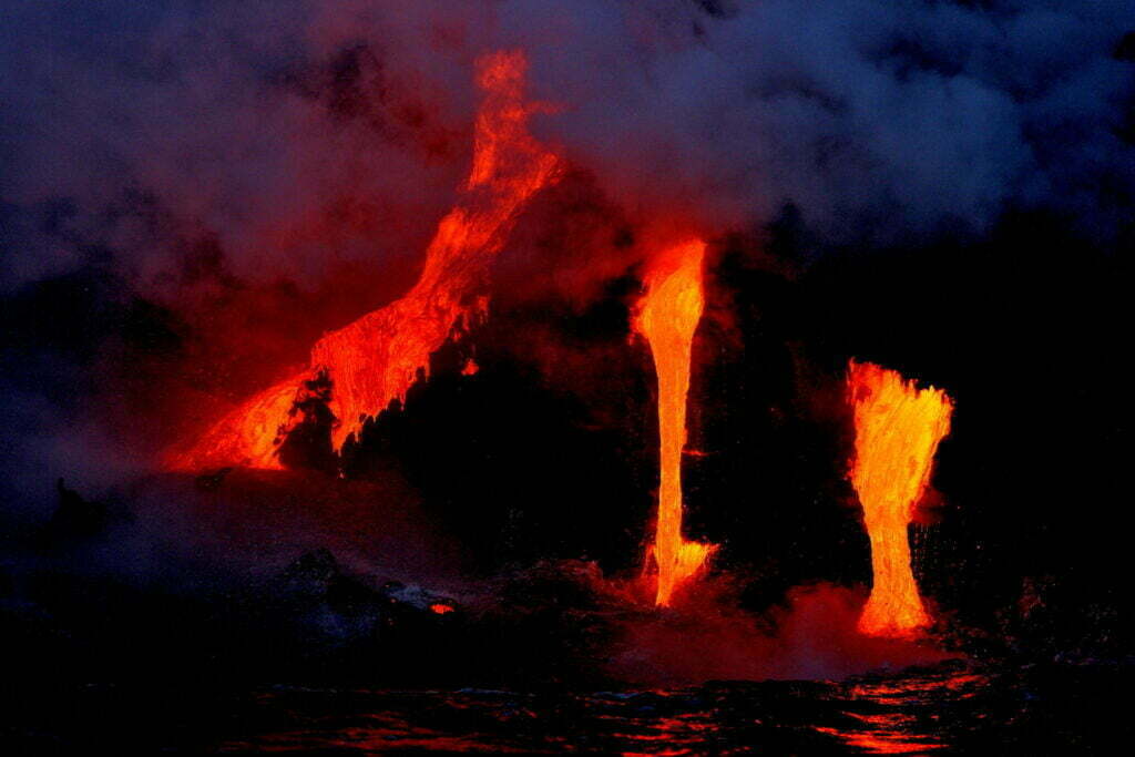
In 1986, the eruption moved to the new Kupaianaha vent, which was 2 miles (3 km) northeast of Pu’u ‘O’o. From there, the lava kept moving slowly until it reached the ocean. In 1990, the whole historic town of Kalapana was covered by lava.
In 1992, lava flowed back to the Pu’u ‘O’o vent, where a cinder cone had formed before. In 1997, lava from Pu’u ‘O’o flowed through a system of lava tubes that was 7 miles long (11 kilometers long) and reached the ocean. This eruption happened in the early 21st century and added 500 acres (200 hectares) of land to the southern shore of Hawaii.
In 2018, a series of eruptions in the eastern rift zone opened cracks that cut through neighborhoods and let out lava and clouds of sulfur dioxide gas. With one strong eruption, a cloud of volcanic ash rose 9,140 feet (30,000 feet) into the air.
Another great thing about the national park is the Ka’u Desert, which has strange lava formations and is in the rain shadow of Kilauea. The Mauna Loa Trail, which goes from Kilauea to the volcano’s peak. The tree fern forest, a dense tropical area that gets nearly 100 inches (2,500 mm) of rain every year, and the museum at the park headquarters.
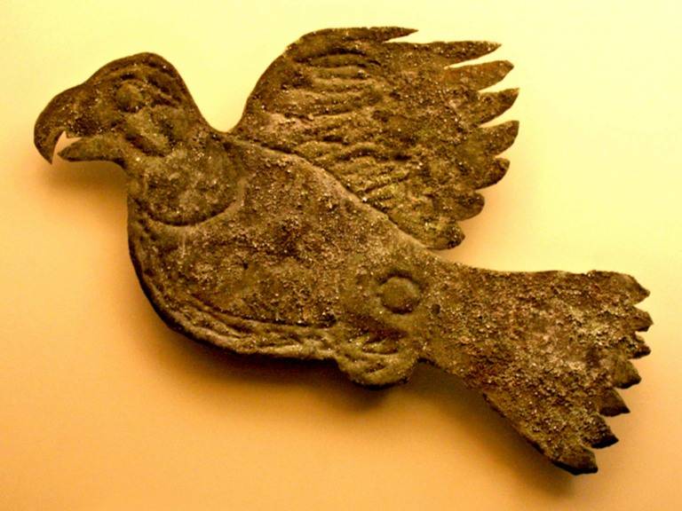
Northwest of Kilauea is where Kipuka is. Puaulu is also referred to as “The Bird Park.” A nature trail leads from a grassy meadow dotted with clumps of koa, ohia, soapberry, kolea, and mamani trees to an open forest teeming with native tree varieties. The park is full of tropical birds. Some examples of introduced wildlife are mongooses, wild goats and pigs, pheasants, and quail.
Hawaii Volcanoes National Park Webcam
Some people think that Pele, the fire goddess, lives in the Kilauea crater in Hale Ma’uma’u. In 1823, people from the West came to see Kilauea, and they needed a place to stay. In 1877, the first wooden volcano house was built on the edge of the caldera. In 1844, Mark Twain was one of the first people to visit.
He stayed on the islands for four months and wrote about what he saw and did. Today, about 2.6 million people visit Hawaii Volcanoes National Park every year. Dr. Thomas A. Jaggar established the Hawaii Volcanoes Observatory in 1912. It used to be in the place where the Park Headquarters is now. The Observatory then moved to an older building on Kilauea’s western rim.
In 1985, it moved to a lab that was built just for it next door. The building that was there before was turned into a museum about Jaggar. Here, real-time seismographs, a view of Hale Ma’uma’u Crater, and a tribute to Pele brought together science and culture. Kilauea’s ongoing eruption and crater floor collapse caused damage to the museum and HOV in the summer of 2018. Only a small part of the park is back open.
